

Below are several maps
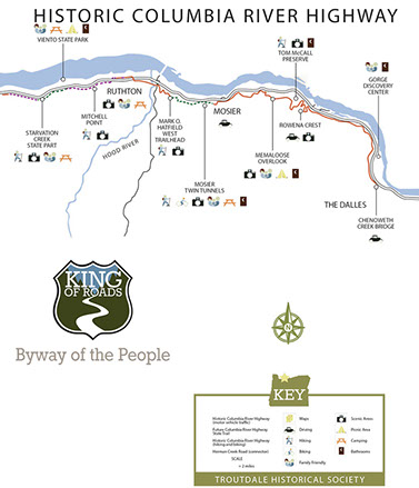
Three cycle and pedestrian pathways along the Columbia River Gorge Scenic Bikeway within the Historic Columbia River Highway & Trail
Geographic satellite map with Mt Hood and watershed
Simple Google map of the Columbia River Gorge scenic bikeway image in between Rowena and Mosier from the Oregon side
Russ Jolley's four ecology regions (vegetation zones)
Amenities along each exit of Interstate 84 (Oregon Side)
Three segments and description of the Historic Columbia River Highway & Trail
Click on each image and bring up a detailed image.
Three segments that at Trail only along the entire Columbia River Gorge Scenic Bikeway


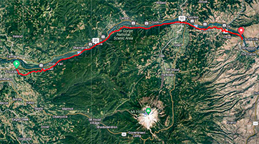

Satellite view of the Columbia River Gorge Bikeway
with Mt norther Hood Watershed
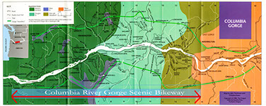
Russ Jolley's four ecology regions
(vegetation zones)
Three segments with Amenities along
the Historic Columbia River Highway and Trail
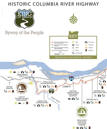
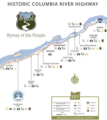
Each Interstate -84 exit and amenities


