The Mosier Tunnel Ride @ Hatfield

Mark O Hatfield Trail head (Hood River)
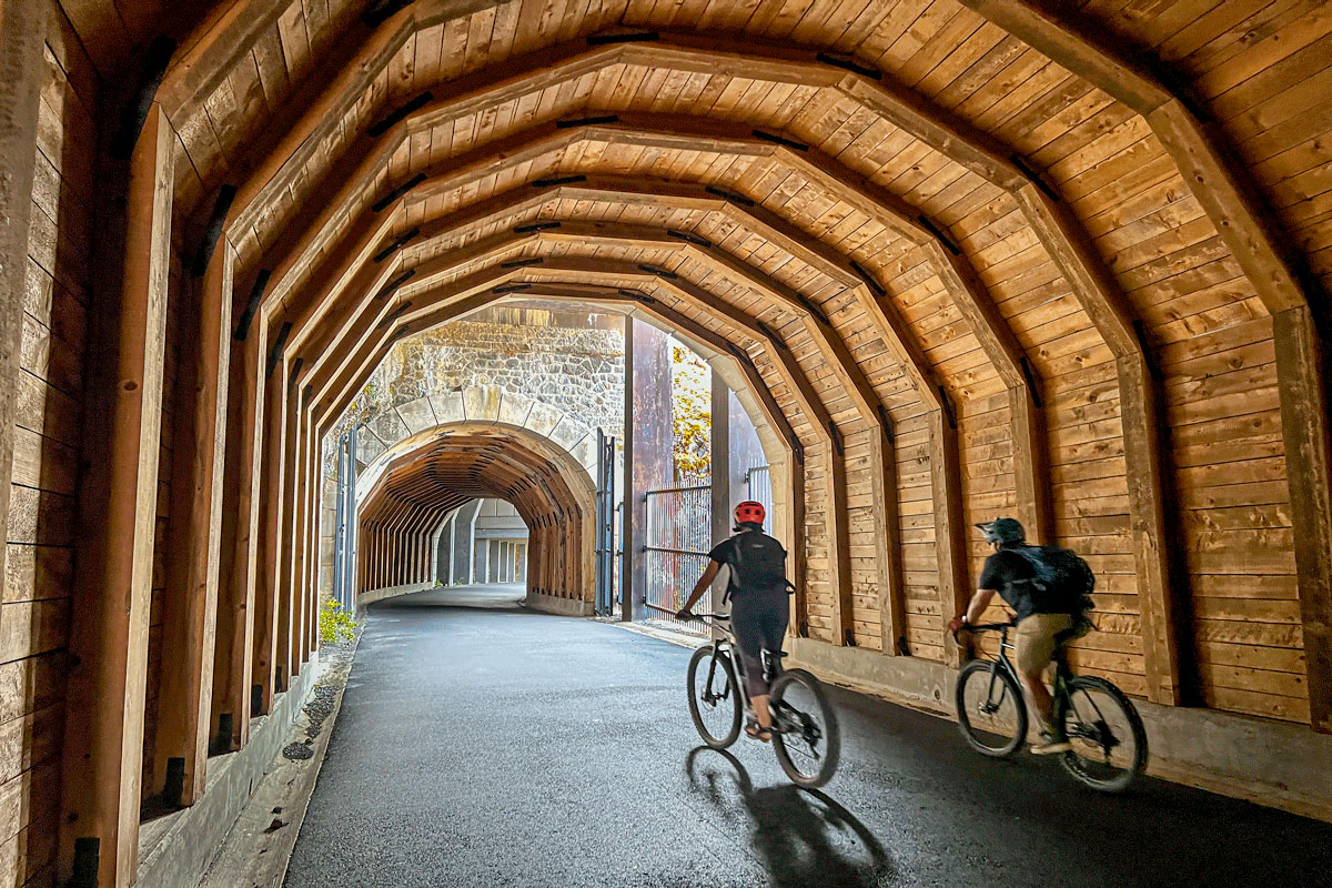
For Mosier Tunnels (day lit)
Staring Direction: Heading East
Length: 9.4 miles Round Trip
Roadway: Trail
Restrooms: West trailhead only
Total Elevation climb: 410
Highest Elevation: 532
Maximum Grade: 6.5%
Services: Fire rescue; Ranger station closed often
Map: https://ridewithgps.com/trips/22518380