Placeholder image

Welcome to the Columbia River Gorge

Many trails, many rides, hikes

Placeholder image

1. Five Paved Trails -

 No Cars (3 are HCRH)

2. Three Trails & Hwy Mix

3. Two Long Trails-Hwy Mix

Below : 5 Paved Trails -No Cars- Great intro to Biking!

Three are on the Historic Columbia River Highway Trail (HCRH) only *Alerts : below

Go: Cascade Locks to Bonneville

Card image cap

Cascade Locks to Bonneville

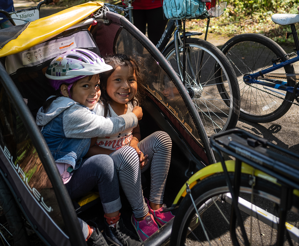
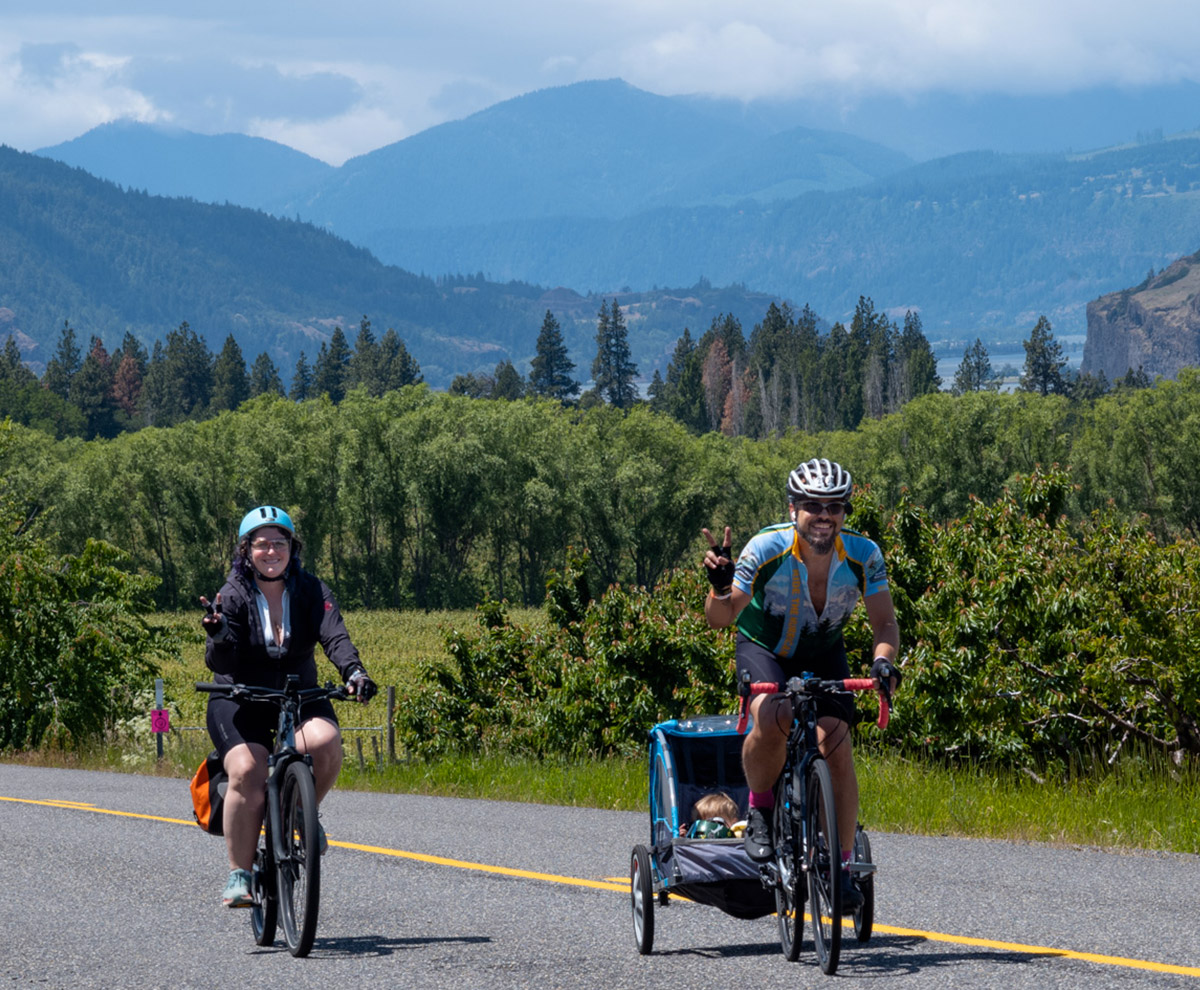
Low mileage Family Friendly; Welcome for All Bodies All Bikes; and No Vehicles!

Go: Cascade Locks to Yeon

Card image cap

Cascade Locks to Yeon Trailhead

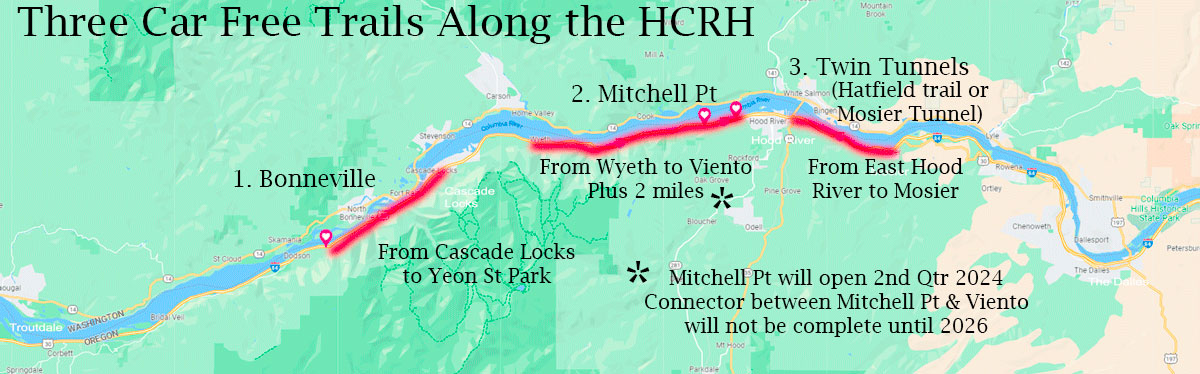
Car Free, more hills, stop at Eagle Creek. Alert: must bring bikes up a staircase !

Go: Wyeth to Viento Plus

Card image cap

Wyeth Campsite & Trail to Viento Plus

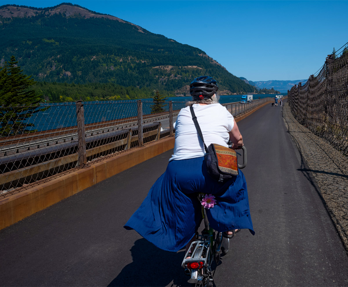
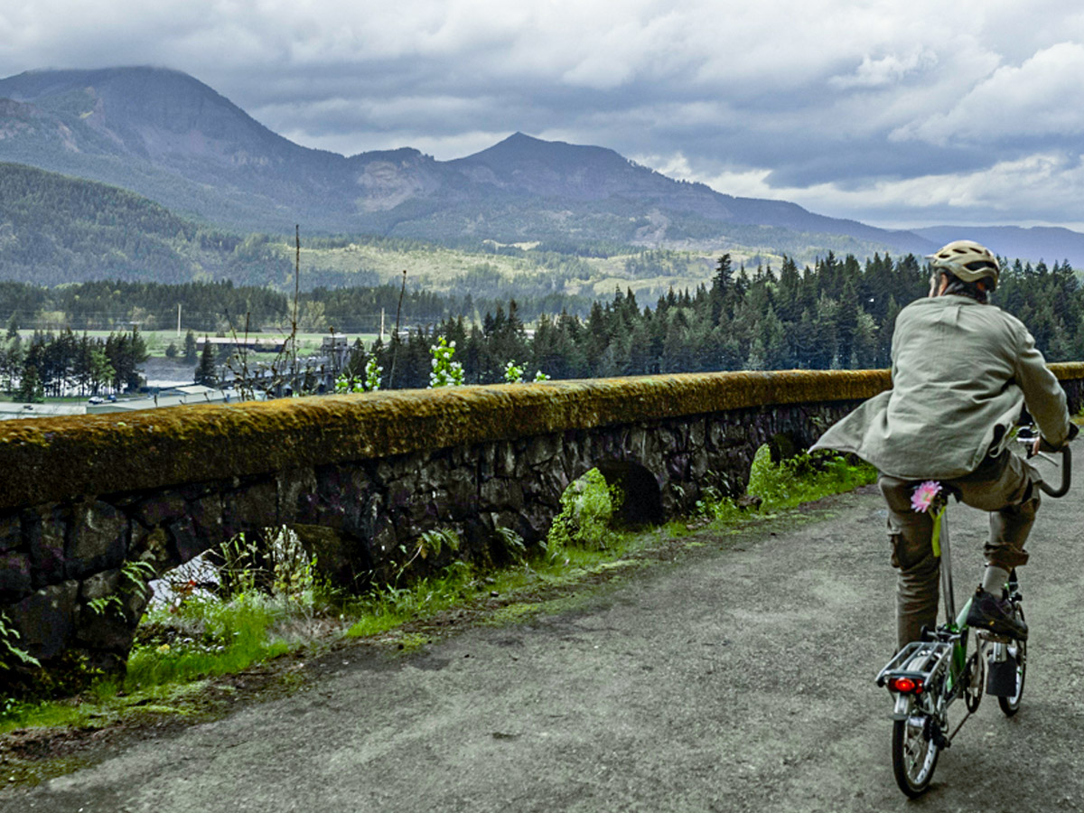
Long up/down views of the Columbia River. Road slope never more than 5%.

Go: Hatfield Twin Tunnels

Card image cap

Hatfield Twin Tunnels

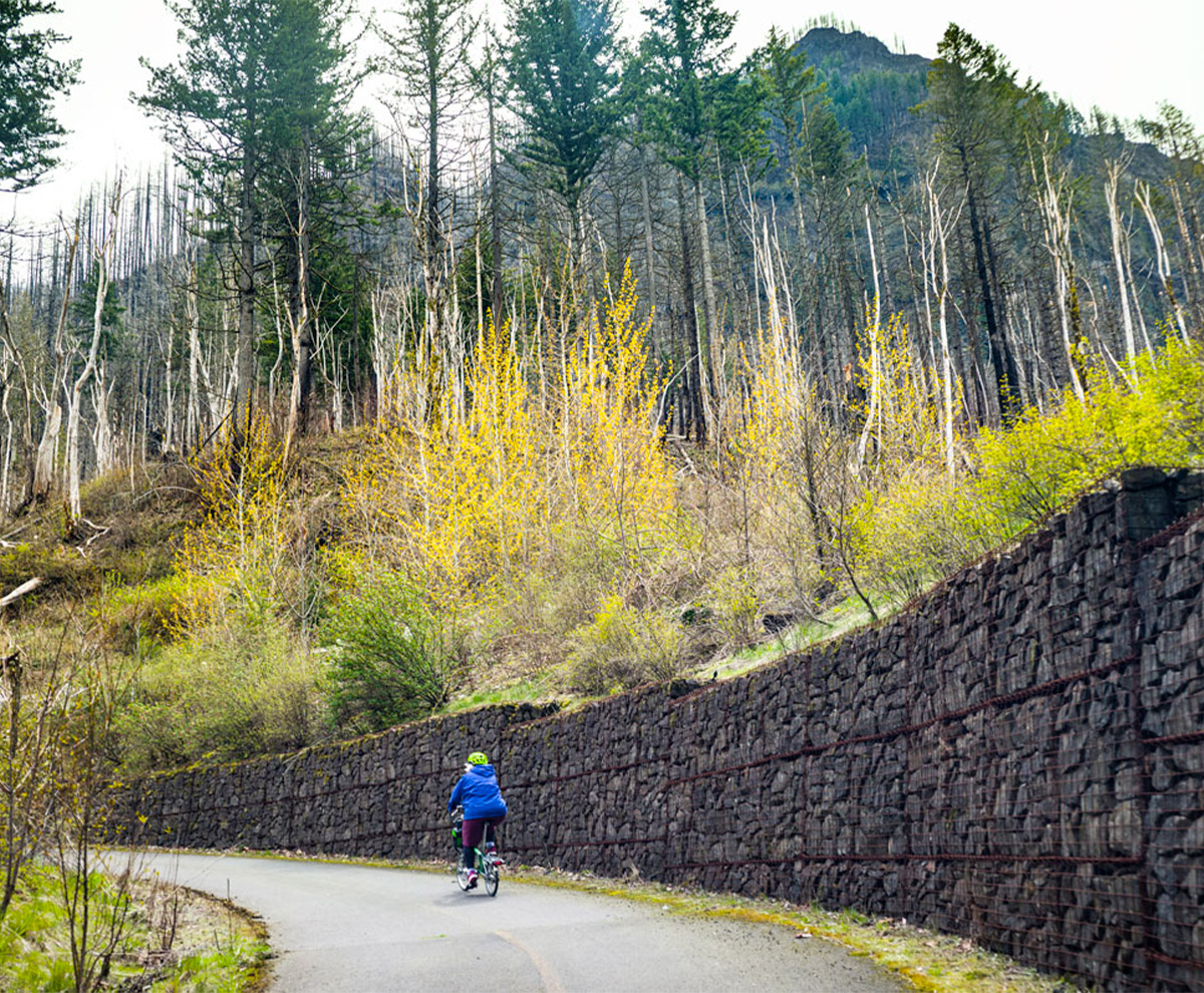
Lovely under the canopy of trees and then enter the high desert.

Go: Riverfront Trail

Card image cap

Riverfront Trail near The Dalles

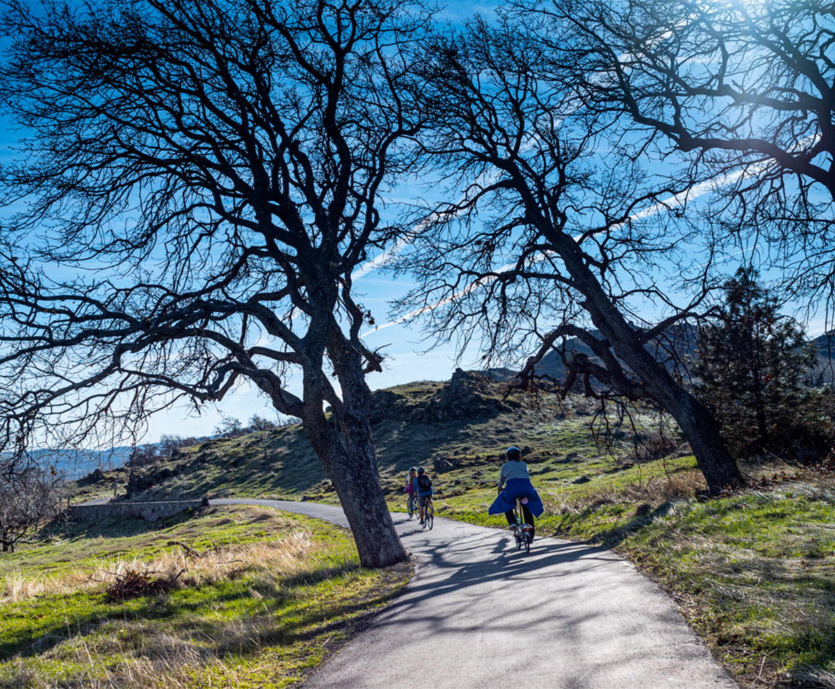
High Desert: meeting place of Native Fishing Platforms & Google data servers of the High Desert.

Below : 3 Mixed Hwy-Trail = Low volume traffic mixed with No Cars trails

Increase your bike skills, more elevation, longer rides

Go: Cascade Locks to Stevenson WA

Card image cap

Cascade Locks to Stevenson, WA

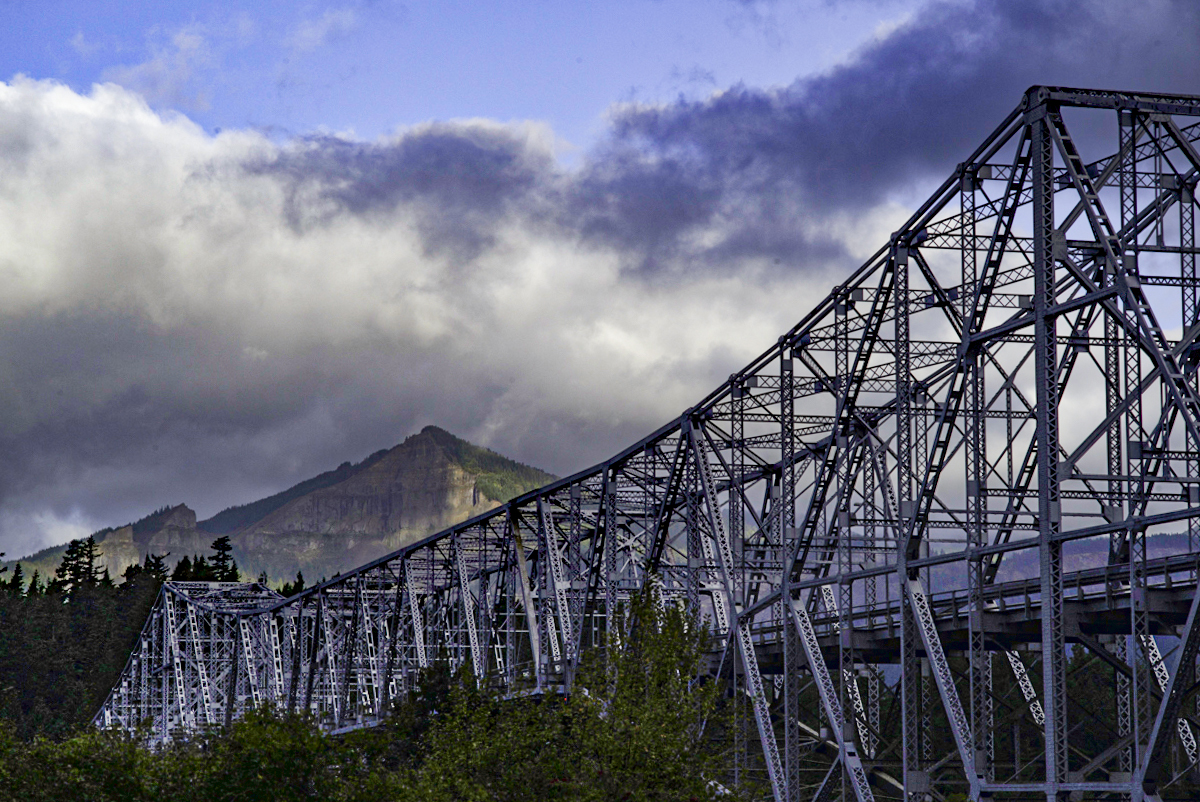
Cross over the Columbia River. Have a great lunch in Stevenson, WA at the Farmer's Market on Summer Saturdays.

Go: Herman Creek to Viento Plus

Card image cap

Herman Creek (Cascade Locks) to Viento Plus

Tough hill on the way to smooth riding eastward along the Mighty Columbia

Go: Classic Gorge Ride

Card image cap

The Classic Gorge Ride

The Best Ride created by Friends of the Historic Columbia River Highway...Integrates the many personalities of the Columbia River Gorge

Below : 2 Long Hwy-Trail Mixed & Challenging Rides

Test your bike skills over 4 different ecologies of the Columbia River Gorge!

Go: Troutdale to Multnomah Falls

Card image cap

Troutdale to Multnomah Falls

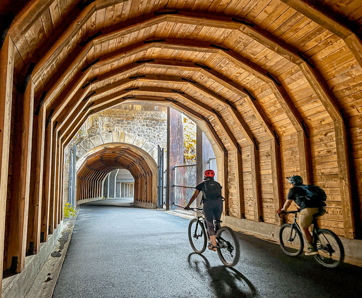
From the Sandy River to the tall Multnomah Falls feeding the Columbia. This is forest route with lovely switch backs !

Go: Troutdale to The Dalles

Card image cap

The Big Ride from Troutdale to The Dalles

The Whole Ride along the Historic Columbia River Highway

Notes:    

The Five Car Free trails are 5% grade up/down. There are pedestrians, skateboarders, parents with strollers, people with visible and invisible disabilities.

The 3 HCRH trails are named Bonneville, Mitchell Point Tunnel, and Twin tunnels or Hatfield or Mosier tunnel trails. The extra 2 Car Free trails are 1) an extension of the Bonneville trail to Yeon Trailhead & 2) the Riverfront Trail near The Dalles.

Alert: Sadly, the Bonneville Trail has stairs at Eagle Creek which are not ADA compliant. The stairs have grooves which make it easier for lightweight bikes to go up/down the stairs. Quadricycles, trailers, and tricycles will require carrying the cycle. (see Gorge Pedal Disability web page for info)

Below: Bonneville, Mitchell Point, and Twin Tunnels spread out along the Historic Columbia River Highway

Placeholder image

For more information of the HCRH Car Free Trails, click map!

Click on any blue button or image to see ride details and QR code for maps.

Questions or comments: info@gorgepedal.com